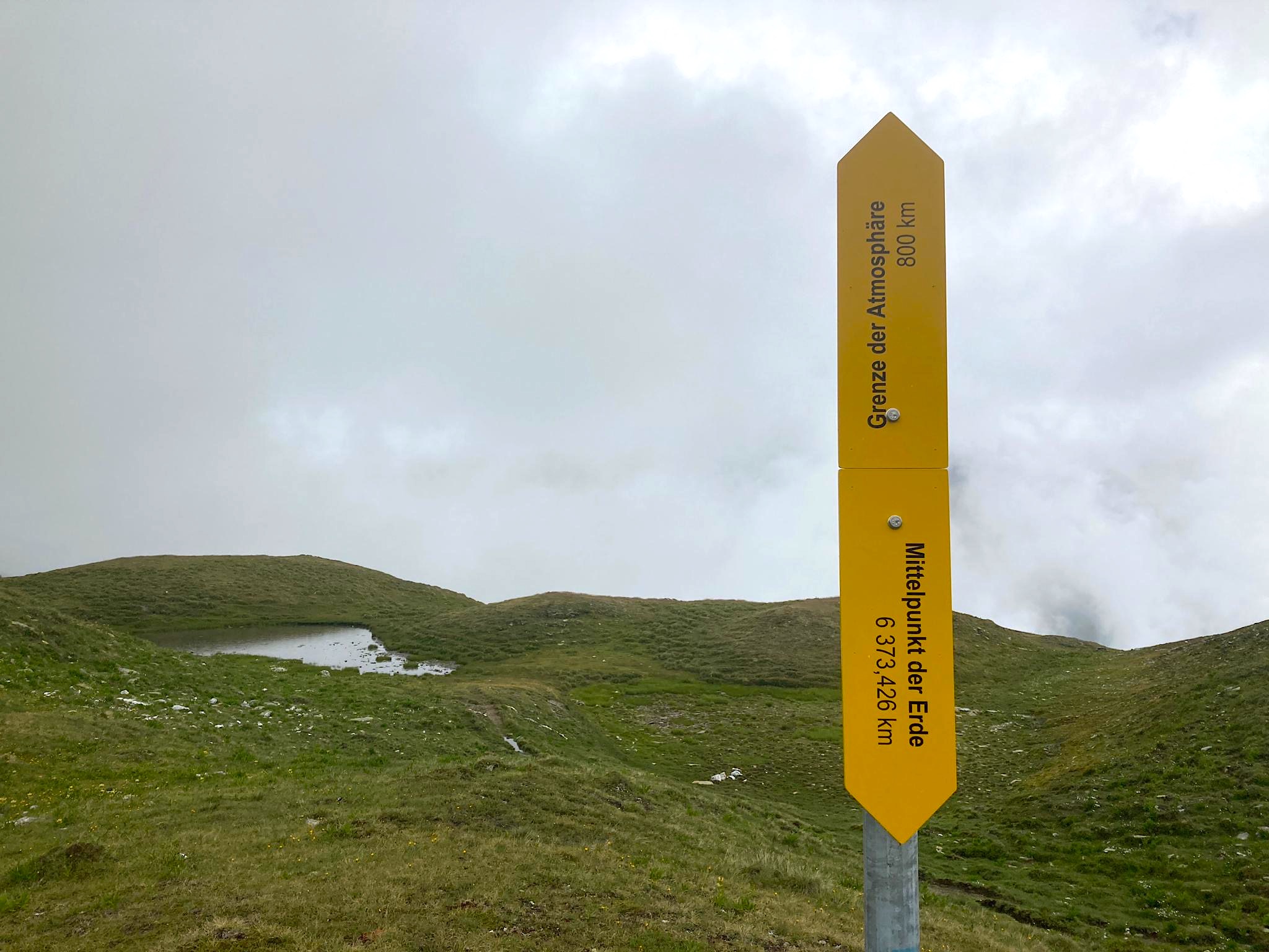
Marie Velardi: MITTELPUNKT DER ERDE UND GRENZE DER ATMOSPHÄRE
A Rheinschlucht (Versam-Safien Bahnhof) – GPS: 46.80598, 9.30487
B Tomülpass – GPS: 46.60936, 9.24418

The Geneva-based artist positions hiking trails in two places in the valley that neither refer to familiar destinations nor point in one of the expected cardinal directions. An arrow points vertically into the ground and indicates the center of the earth at a depth of about 6,300 kilometers, while a second arrow points vertically upwards indicating the end of the Earth’s atmosphere at a distance of about 800 kilometers. These simple measurements and references make us suddenly aware of our own smallness, position in space, and fragile dependence on the atmosphere.
Installation
A from Versam-Safien train station approx. 10 min
B from Turrahus approx. 2 hours 30 min
ASSISTANCE: Forst- und Werkdienst Gemeinde Safiental, Jolanda Rechsteiner, Casutt Druck & Werbetechnik AG
SUPPORT/THANKS: Alpgenossenschaft Falätsch, Gemeinde Safiental, Wanderwege Graubünden
